


NZ Geotechnical Society (NZGS) Symposium 2021 Dunedin
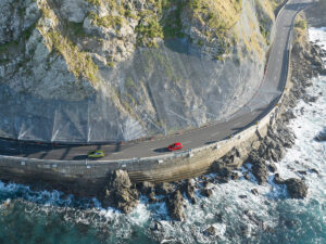
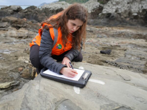
Landslides are widespread natural hazards that are responsible for substantial economic and societal damage globally each year. In NZ, landslides frequently occur on soil and rock, triggered by high rainfall, seismic activity, and land-use change and/or disturbance. Show more…This study fcouses on Gisborne district, an area particularly susceptible to landslide hazards because of the area’s steep slopes, relatively young, soft geology, land-use change, extreme rainfall events and extgra-tropical cyclones. However the extent and rate on going slope deformation in Gisborne is poorly known. Indeed, detecting ground deformation related to landslides is vital for identifying and managing areas at risk.Interferometricsynthetic aperture radar (InSAR) is an active remote sensing imaging tool used tro map and monitor surface deformation, with a cm to mm-scale of accuracy. Show less…